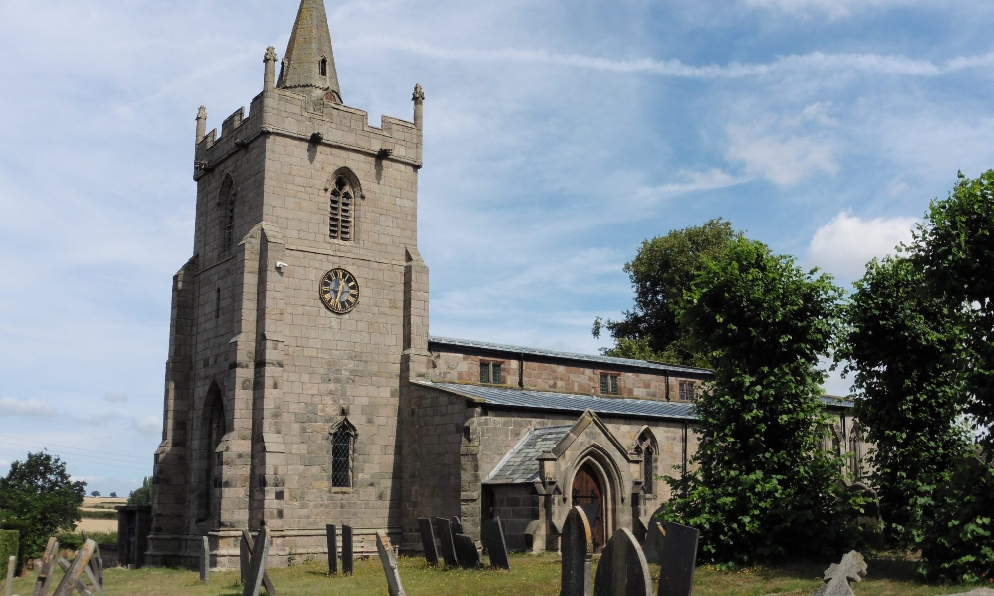
If we are to put together a history of this village and area, there are a lot of gaps, so any knowledge you have to contribute is welcome. I know nothing about the Romans locally, except that there are a lot of straight roads around and Long Lane was a Roman road, between Derby and Rocester on the way to Chester.
In Saxon times, Tutbury was part of Mercia. Aethelred lived there and when he became King of Mercia in 674, he granted Hanbury to his pious niece, Werberga, and she erected a nunnery there. Offa and Kenulph, Kings of Mercia probably lived at Tutbury. In 824 the Danes overwhelmed Tutbury and Hanbury. Forty years later King Alfred’s daughter expelled them, but they returned yet again and were finally defeated at a great massacre at Houndshill, five miles from Church Broughton.
Tutbury’s hill protected by the river made it a good site. Scropton and Barton Blount were the large settlements on this side of the river. Scropton had the advantage of being close to the River Dove, and Barton Blount, at one time, had two mills on the Longford Brook. In 1968 our family drove over to the Spendloves’ farm, by Barton Blount, where Maurice Beresford was excavating the deserted village. The part he uncovered had been there from the twelfth to the fourteenth century (1100s to 1306s). There was a large muddy area and, as Mr Beresford was as it were out, one of the group of prisoners from Sudbury, who were his workforce showed us round. In a way it seemed appropriate, because he was a down and out, but was so enthusiastic, it was if he had lived there. A flea crawled over his face as he showed us the saw pit and where the houses had been. We felt as if we were back in the twelfth century. Mr Beresford thought that, if he could have continued the excavation nearer Barton Hall, he would probably have got back to the 800s. The deserted village had been large and important. He found Chester pottery, which demonstrated wealth, and was excited by the proof of a two storey building. All the houses had been built of timber, without stone foundations, so I assume that Broughton would have been built similarly, with thatched rooves. Of course thatch continued till recent times. There is a photo of the Holly Bush thatched!
Before the roads were given road signs, Old Hall Lane was known as Back Lane and the part between the church and Old Hall Lane was called The Street. These are Saxon names, the chief village street being called The Street, and the land behind its houses contained by a back lane. On the 1626 map, houses lining both sides of The Street can be seen. The first main route into the village would have been from Heath Top to the church. There is the remains of a road from Chapel Lane across the fields to Barton. It passes humps in the first field, called Hall Orchard, which may be the remains of an ancient set of buildings. If you go by way of Badder Green, there is another ruin on the way to Lodge Hill. It would be very exciting if we could have a Church Broughton excavation.
The Hall Orchard is ridged. I don’t know whether this is part of the old strip system or more recent drainage. The village had several fields divided so that each villager had some good strips and some wet or poor ones. Large meadows were available for grazing and between the villages was wild gorsey heath and woodland. You have to picture a third world situation. Everyone walked everywhere and used oxen for ploughing.
